A boundary is a number. It does not get redrawn
Survey plans fail badly under restoration if the model is free to move a line. Measurements, bearings and boundary geometry are captured, checked for closure, and held - the paper is repaired around them.
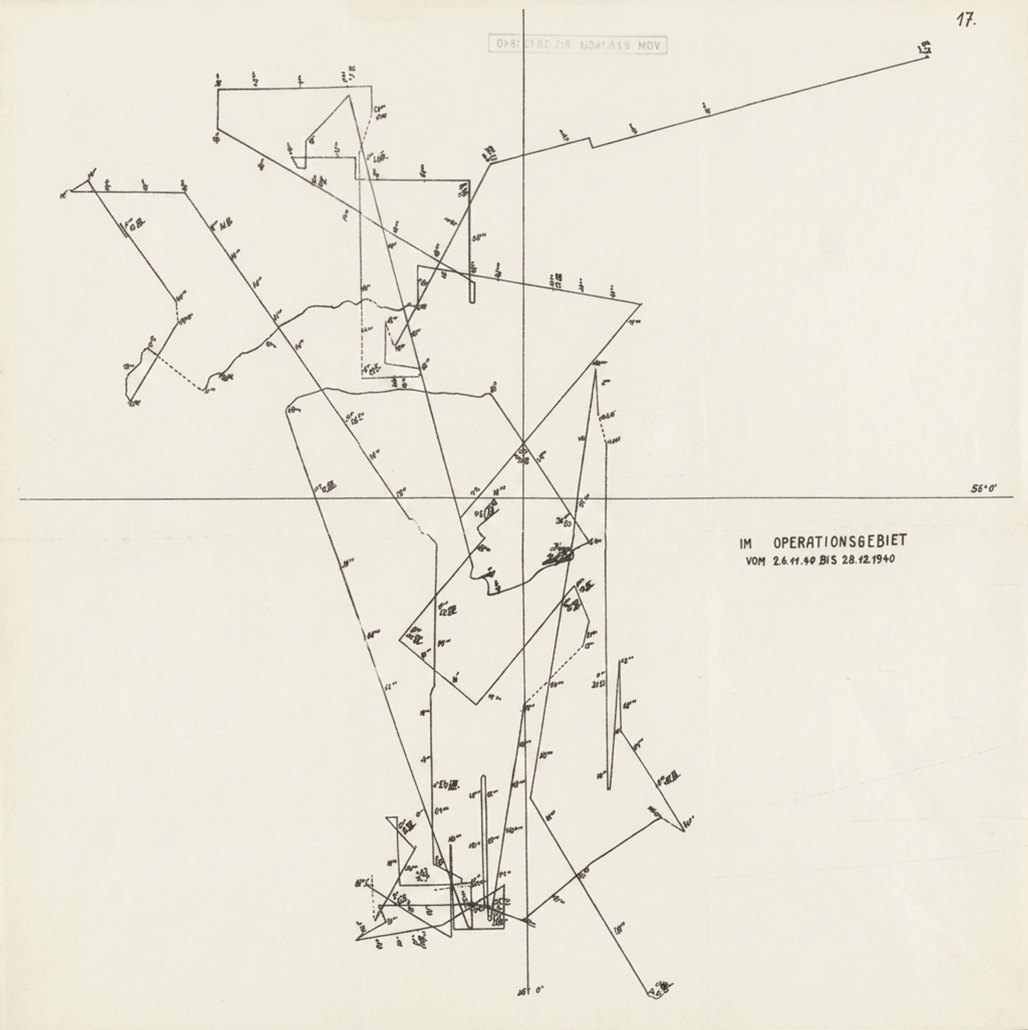
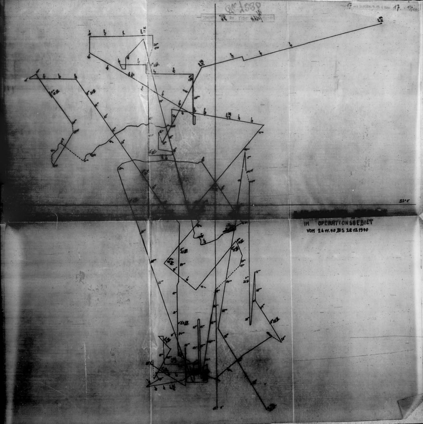
Bearings & distances
- N 78° E38.2 m
- N 41° E36.0 m
- N 09° W34.4 m
- S 61° W42.6 m
- S 28° E40.1 m
The page is restored top to bottom, then checked - live. Every job keeps the untouched original.
Every kind of property & real estate we restore
A0
full resolution
closure
traverse checked
0
lines moved
tiles
no downsampling
What goes wrong with these documents
The survey vocabulary is specific to this document family, because the damage is. Recording it is what produces the restoration instruction - there is no prompt box.
- Blueprint and dyeline fading
- Roll creases on large-format plans
- Torn and taped plan edges
- Faded surveyor's ink and annotations
- Water staining across parcel numbers
- Foxing on old title deeds
Survey, recover, capture, check
Every job follows the same path a records office would, and the console keeps the whole document in view the entire time.
- 1
Survey the plan
Log dyeline fade, roll creases, taped tears, faded surveyor's ink and water staining across parcel numbers.
- 2
Capture the geometry
Bearings, distances and boundary geometry are captured and held so restoration cannot move a line.
- 3
Recover the linework
Faded plan linework is rebuilt without moving it, and roll creases and taped tears up to A0 are repaired in full-resolution tiles.
- 4
Check closure
The captured traverse is walked around the parcel; if it does not return to its start within tolerance, the plan is flagged.
What this console can do to a page
Any treatment can run on a single page or across the whole batch, and each lands as its own revertible version.
Records copy
A clean copy for conveyancing and filing.
Line work recovery
Rebuilds faded plan linework without moving it.
Measurement hold
Dimensions and bearings are composited back from the original.
Closure check
Captured bearings and distances are tested for polygon closure.
Large-format repair
Roll creases and taped tears on plans up to A0.
Detail recovery
Resolution for plan reprints and registry submission.
A boundary is a number. It does not get redrawn
Survey plans fail badly if a model is free to move a line. Measurements and bearings are captured, held, and checked for closure - the paper is repaired around the geometry, never over it.
- Bearings and distances are captured and composited back from the original.
- The traverse is walked around the parcel and checked to close within tolerance.
- A traverse that does not close is flagged - usually a misread digit, caught early.
- A0 plans are processed in full-resolution tiles, not downsampled to fit.
Boundary closure
- Traverse
- closes 0.00 m
- Lines moved
- 0
- Resolution
- A0, full
10 document types
Everything this console takes in
Pick the type before you upload and the uploader, format rules and checks follow from it.
Captured as data
What is read back off the page
Every field carries its confidence and its source crop, and anything that fails a check is withheld into its own export column rather than delivered.
Capture guidance
Get this right and everything downstream is easier
- 1Capture large plans in overlapping sections if a single scan is not possible.
- 2Include the scale bar and north arrow - both are captured.
- 3Do not crop the title block from a survey plan.
The jobs this console is built for
Real reasons people restore these documents - a filing, an audit, a conveyance, an archive before the paper gives out.
A deed plan for conveyancing
A dyeline plan faded and roll-creased recovered for conveyancing, its boundary geometry held and checked for closure.
A survey plan for the registry
A taped, torn survey plan repaired at A0 so bearings and distances submit cleanly to the land registry.
A title deed for the archive
A foxed old title deed cleaned around its parcel numbers, every measurement preserved exactly.
A0
large format, full res
Survey plans fail badly if a model is free to move a line. Measurements and bearings are captured, held, and checked for closure - the paper is repaired around the geometry, never over it. The untouched original is always delivered alongside the restored file.
What runs behind this console
A legible copy of a record you already hold
Restoration is a reading aid and an archival tool. Being plain about the line it does not cross is part of the product.
- Restores title deeds, survey plans and mortgage papers
- Captures and holds bearings, distances and boundaries
- Checks the parcel traverse for closure
- Handles plans up to A0 at full resolution
- Move a boundary line or a dimension
- Redraw geometry to make a plan close
- Downsample a large plan to fit a model
- Produce a copy meant to pass as an original
“It repaired a torn survey plan without nudging a single bearing, then told us the traverse closed to zero. For a surveyor, that is the whole game.”
Property & Real Estate, answered
The questions people ask before sending us this kind of document.
Have a document you are not sure about?
Send us a photograph of it. We will tell you honestly whether it is recoverable before you spend anything.
Ask usThe bearings and distances read off the plan are walked around the parcel. If the traverse does not return to its starting point within tolerance, the plan is flagged - which usually means a digit was misread, and you find out before a conveyancer does.
Also in Business & Legal
Try it on your worst property & real estate
Free to start, no card. The untouched original is always delivered alongside the restored file.